Caution: During the Summer, Elevenmile is usually calm in the morning but a breeze often comes up "late morning". Afternoon thunderstorms are common. The thunderstorms come in fast but also usually leave fast and can produce high winds. However, the higher winds usually don't last more than 15 minutes. The lake elevation is around 8600 feet so the water never gets very warm. Summer time water temperatures are usually in the 60's F degree range.
If there is a chance of any wind, proper foul weather gear is recommended (I almost always wear a dry suit).
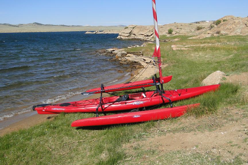
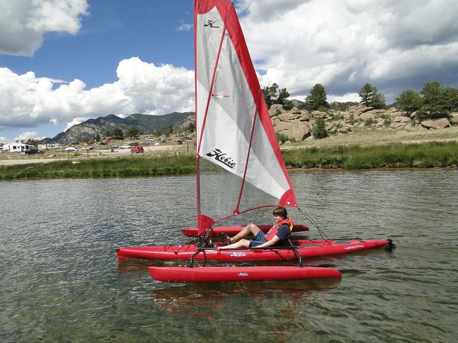
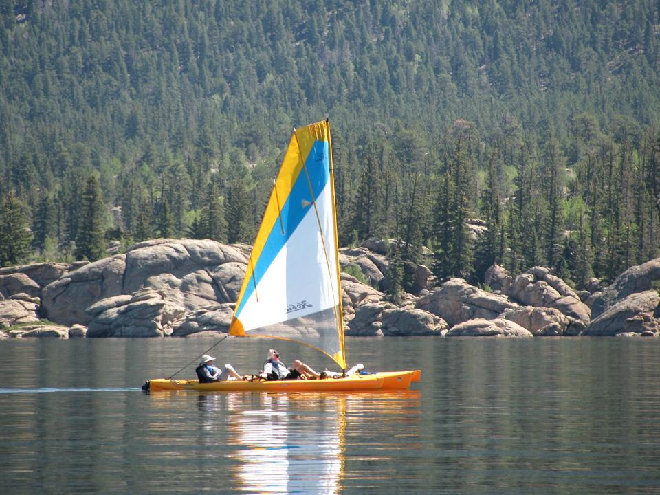
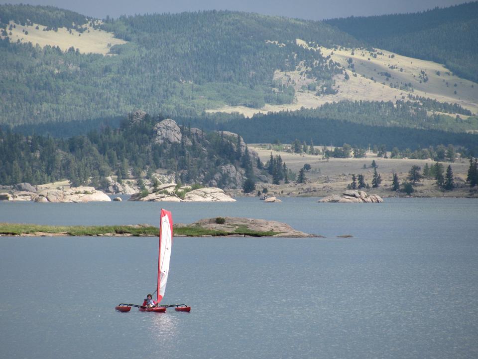
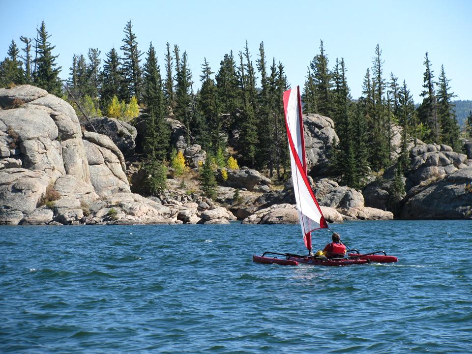
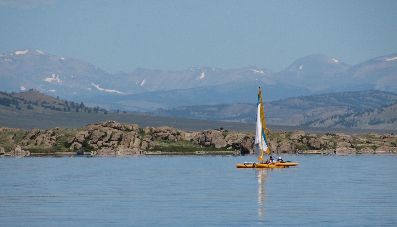
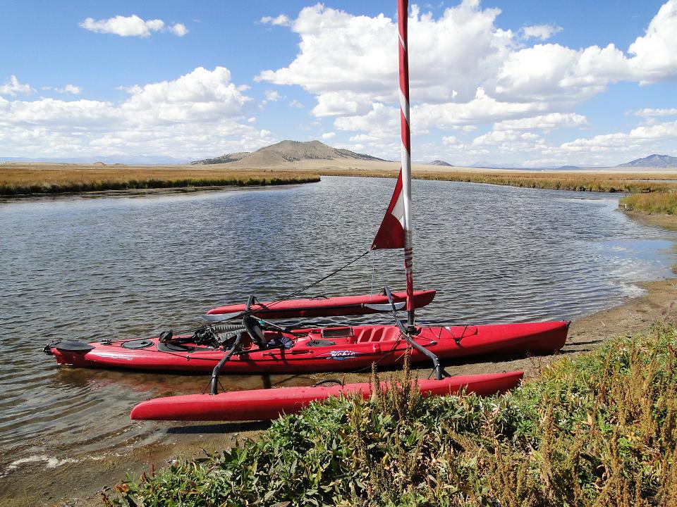
However.. The Hobe AI and TI are an absolutely great way to sail at Elevenmile. This is partly due to the very easily reefed sail and also the tri stability. You can go out in no wind and pedal, as the wind comes up, unfurl the sail and then reef to whatever sail size is comfortable. If it gets too windy, just completely furl the sail and pedal. These boats also easily cover the miles making touring the lake a relatively safe and extremely enjoyable experience.
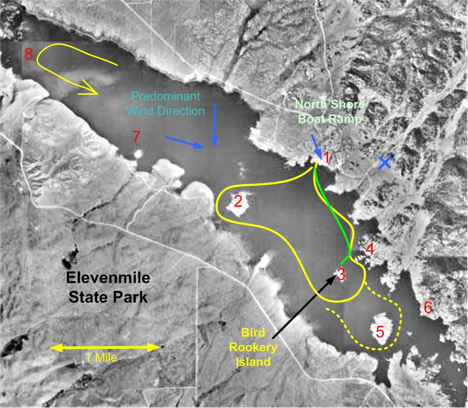
The map below shows some suggested routes and area of the lake to see.
Water Hikes at Elevenmile
Route A. Easiest. This route goes from the North Shore launch area (1) and goes to one of the most scenic areas on the lake (4). The route is shown in green on the map below. If there is wind, it is generally down wind going to area 4 and upwind heading back to the launch area 1.
Route B. Two Island Trek. Moderate. This route starts at area 1, then
heads up to the island area 2 and goes around the island. You then head towards
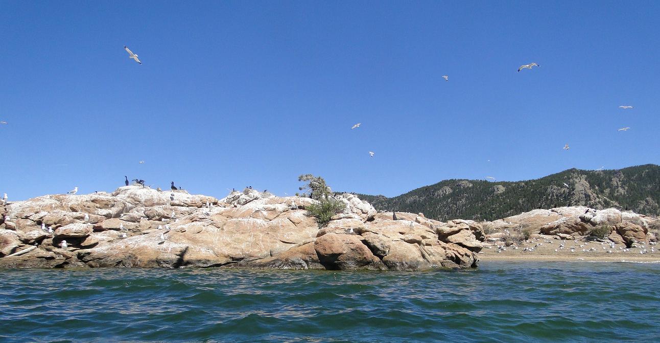
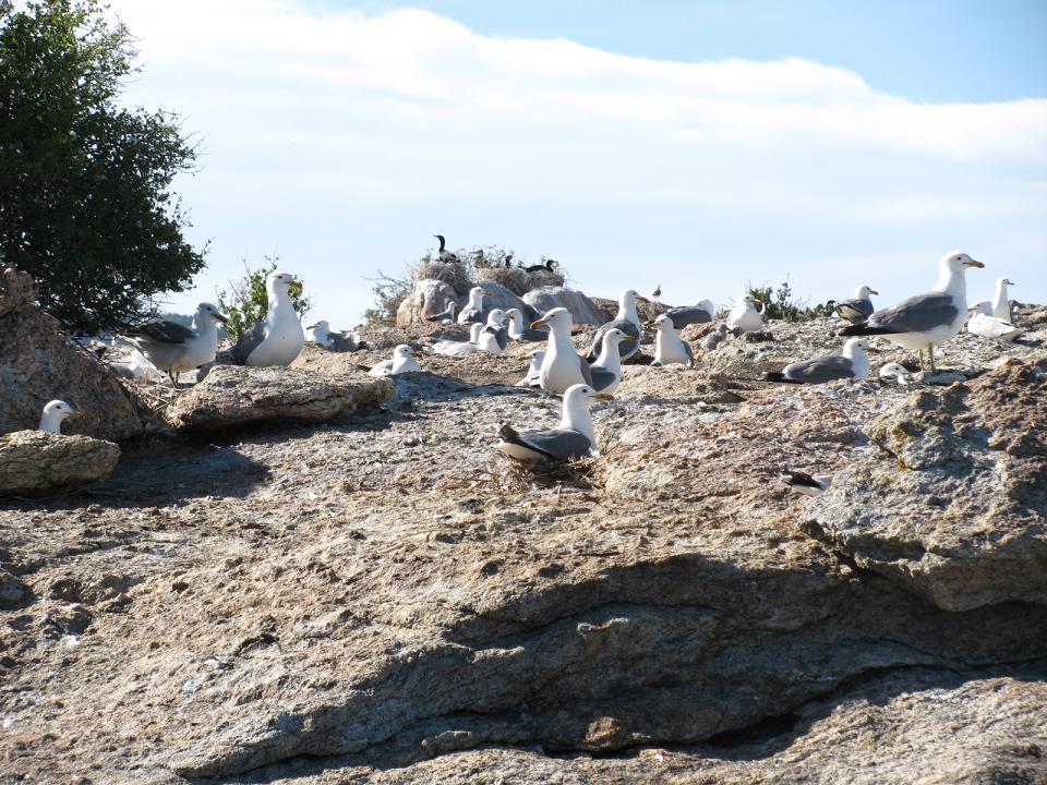
area 3 which is another island "goose island". Goose Island is a rookery and is
just covered with birds mostly in May. In June, the young birds start to fly and
the island starts to clear. After leaving area 3, you can head to the shore and
explore area 4 before heading back to the launch area 1. This is a video of a
Route B trek
http://www.youtube.com/watch?
Route C. Three Island Trek. More Advanced. The trek is similar to Route B but also goes around an additional Island area 5. The area around 5 is also a very scenic part of the lake.
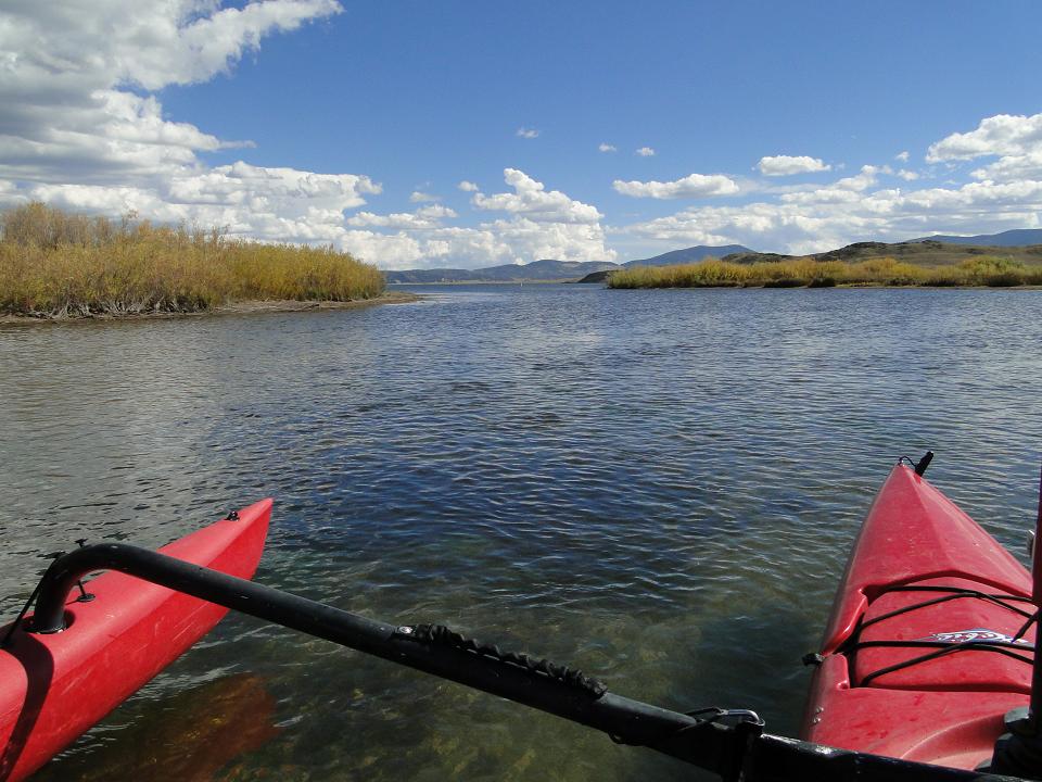
Route D. West end of the lake to the South Platte river inlet - area 8. Start at the North Shore boat ramp and head to the far end of the lake. With predominate wind directions, this trip will be upwind going to the west end and downwind coming back. That long downwind is a lot of fun in an AI.
See notes at the bottom of the page for additional park information.
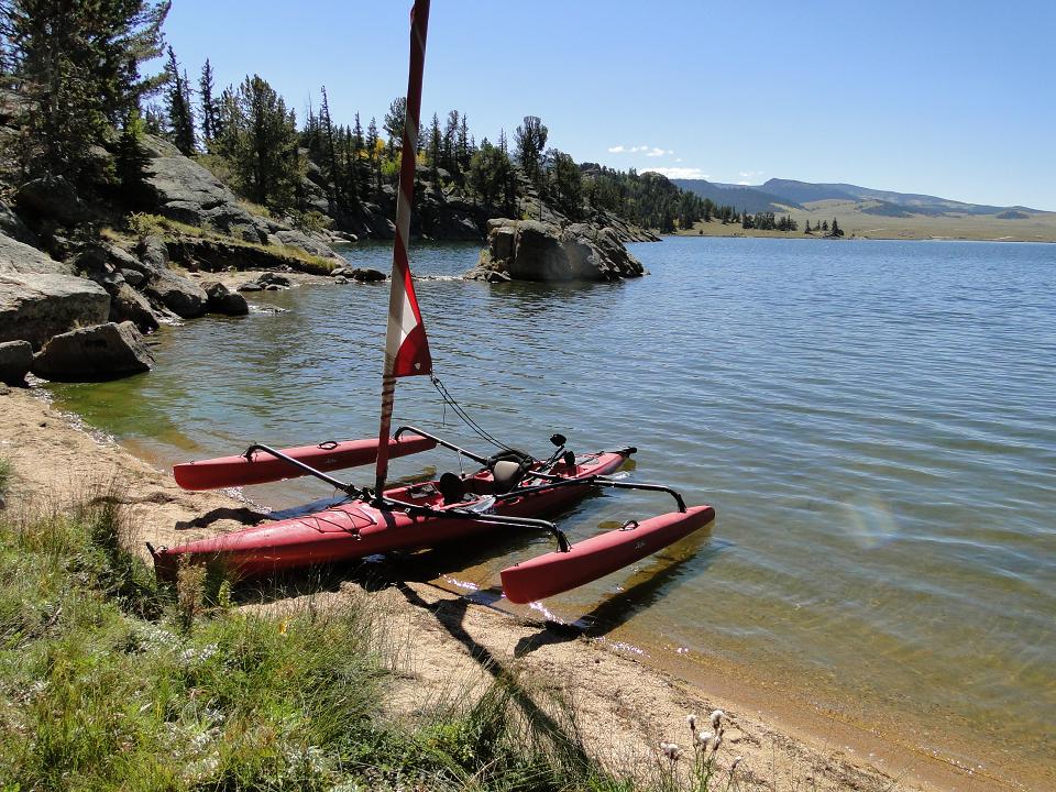
Shot below - Area 1. This is near the North Shore boat launch
Shot below - Area 1
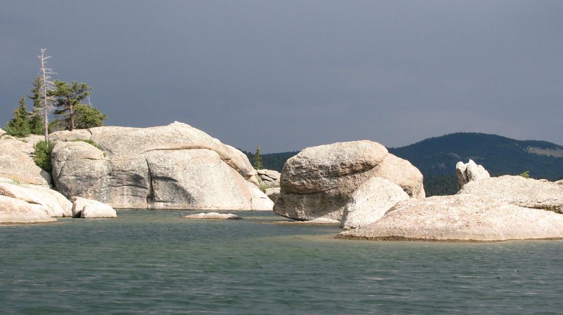
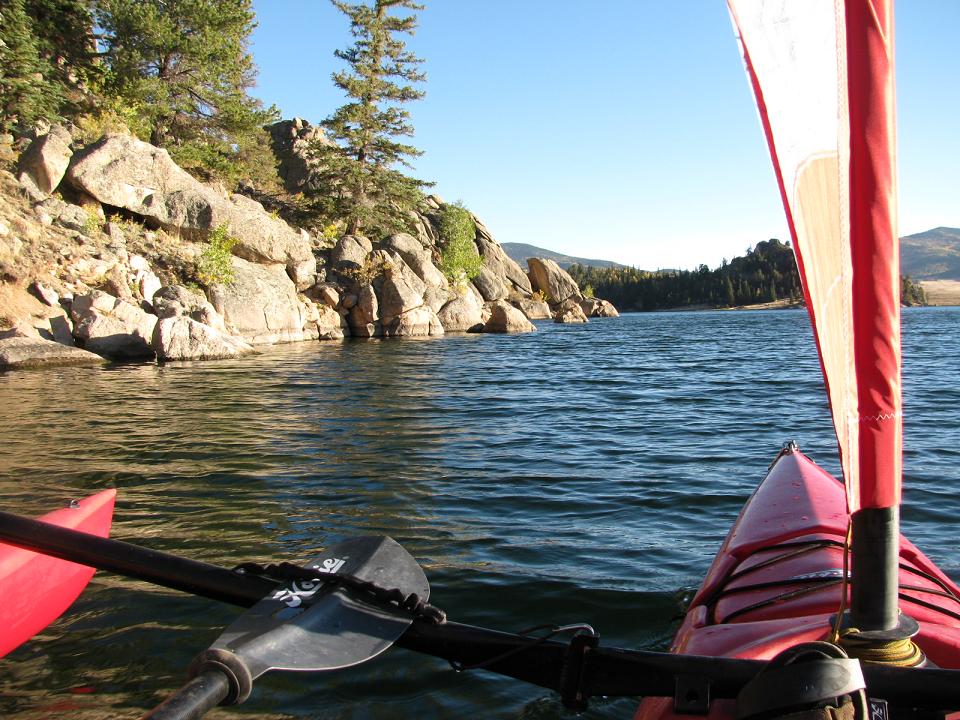
Shot below - Area 3
Shot below - Area 3
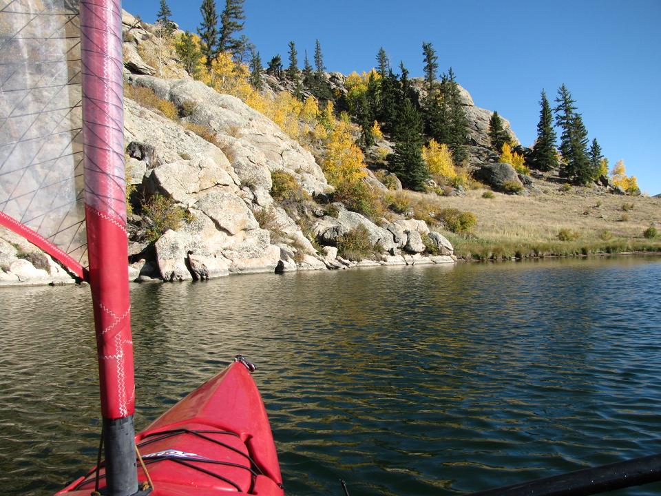
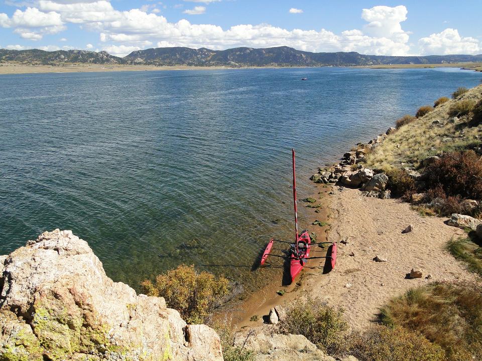
Shot below - Area 4
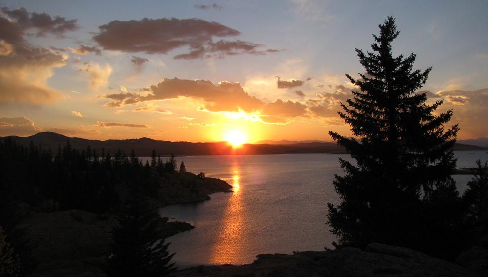
Shot below - Area 4
Shot below - Area 4
Shot below - Area 4
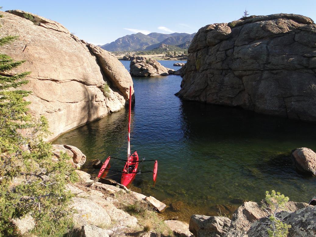
Shot below - Area 4
Shot below - Area 4
Shot below - Area 4
Shot below - Area 6
Shot below - Area 6
Shot below - Area 6
Shot below - Area 7
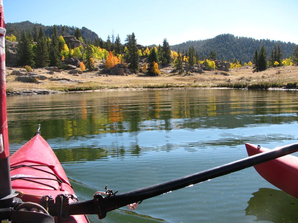
Shot below - Area 8
Shot below - Area 8 (up the South Platt river)
Shot below - Area 8 (where the South Platte opens into Elevemmile reservoir)
Boat Inspections:
Elevenmile State park has boat inspections. Make sure your boat is as dry as possible after sailing as there is also an exit inspection.
Links
Elevenmile State Park web site http://www.parks.state.co.us/parks/elevenmile/Pages/ElevenMileHome.aspx
More pictures of Elevenmile area http://analogengineering.com/elevenmile/lake_shots/
Notes
People are not allowed on the islands at the lake (which is one reason why the birds are there). The islands at Elevenmile are the summer home to a lot of different types of birds and the Hobiie AI and TI are a great way to view the birds from the water. This is an example of a water hike in mid September viewing birds on various islands Late Sept water hike bird viewing